Existing Local Area Plans
Kiltiernan - Glenamuck Local Area Plan 2025
Frequently Accessed
Welcome to the Dún Laoghaire-Rathdown County Council Kiltiernan - Glenamuck Local Area Plan webpage.
The Kiltiernan – Glenamuck Local Area Plan (KGLAP) sets out the policies and objectives to guide future development in Kiltiernan - Glenamuck.
The KGLAP was made by the Elected Members, by way of a resolution, at a Special Council Meeting on the 5th June 2025 and came into effect on Thursday, 17th July 2025.
A PDF version of the Local Area Plan and its associated environmental reports can be viewed and/or downloaded from the document list below.
Important Note
It has come to our attention that ‘Height Objective’ SDF10-4 as approved and listed in Appendix 4 of the Kiltiernan-Glenamuck Local Area Plan 2025 was omitted in error from Chapter 2.
The plan document has been updated to incorporate this Objective into Chapter 2 (page 32).
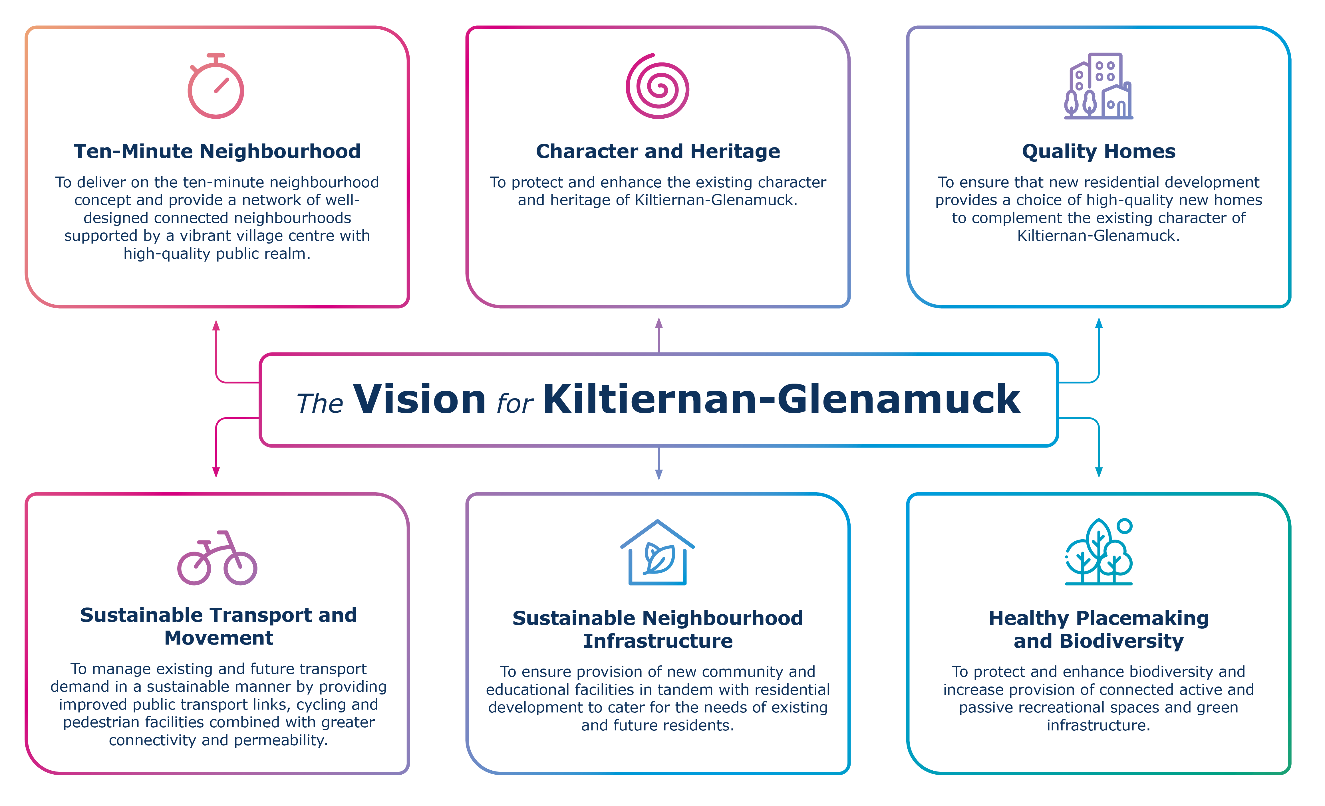
Vison
The vision for Kiltiernan – Glenamuck is of a connected and sustainable neighbourhood which enhances the existing green infrastructure, rural character, heritage and biodiversity, and includes a vibrant and inclusive village centre.
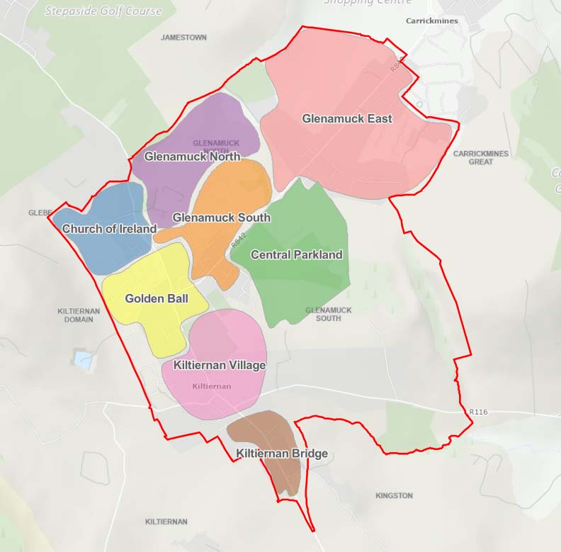
Webmap
Click on our interactive webmap to view some of the key elements of the LAP.
Where can I view the LAP?
Copies of the Local Area Plan (incorporating a Strategic Flood Risk Assessment), the accompanying SEA Report, the SEA Statement, the Natura Impact Report and AA Conclusion Statement are available for inspection online (below) and at the following locations:
- Planning Department, County Hall, Marine Road, Dún Laoghaire, Co. Dublin (Mon-Fri (excluding Bank Holidays) between 10.00a.m. and 4.00p.m.)
- Council Offices, Dundrum Office Park, Main Street, Dundrum, Dublin 14 (Mon-Fri (excluding Bank Holidays) from 9.30a.m. to 12.30p.m. and 1.30p.m. to 4.30p.m.)
Kiltiernan - Glenamuck Local Area Plan 2025
Stages involved in the preparation of the Kiltiernan - Glenamuck Local Area Plan
FAQ
What is a Local Area Plan (LAP)?
A Local Area Plan (LAP) is a statutory document prepared by the Local Authority in accordance with the requirements of the Planning and Development Act 2000 (as amended).
A LAP consists of a suite of policies and objectives to guide the development of an area for a period of 6 years. A LAP sets out a land use strategy for the proper planning and sustainable development an area and consists of a written statement and maps indicating:
- objectives for the zoning of land for the use solely or primarily of particular areas for particular purposes, or
- other objectives in such detail as may be determined by the Planning Authority for the proper planning and sustainable development of the area to which it applies, including the objective of development of land on a phased basis and, detail on community facilities and amenities and on standards for the design of developments and structures.
How long is a LAP in force?
A Local Area Plan is a 6 year plan, unless it is extended to 10 years.
Where can I view the Local Area Plan?
The Local Area Plan documents can be viewed in full:
- on this webpage by expanding the 'Kiltiernan-Glenamuck Local Area Plan 2023' banner.
- In the Dundrum Council Offices Mon-Fri (except bank holidays) 9:30am to 12:30pm and 1:30pm to 4:30pm
- County Hall Mon-Fri (excluding Bank Holidays) between 10.00a.m and 4.00p.m.
- Upon request in any dlr library branch. Details of each library opening times are set out here.
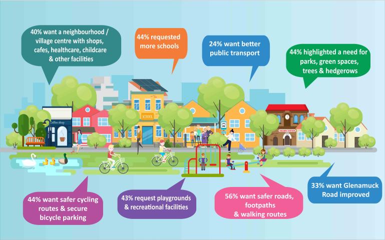
How did my ideas and views inform the Local Area Plan?
Your views helped shape the direction that the final Local Area Plan.
Your written submissions / observations were reviewed and summarised, and recommendations were made in response to them in a Chief Executive's Report.
This report was circulated to the Elected Members for their consideration in May 2025.
The Elected Members agreed to make the Local Area Plan, by way of a resolution, with minor amendments at a a Special Council Meeting on the 5th June 2025.
Thank you for taking the time to have your say in the process by making a written submission / observation and helping to shape the policy framework for your area.
What development is proposed in the Kiltiernan-Glenamuck LAP?
A Local Area Plan does not contain development proposals, rather, it sets out policies and objectives to help guide any future development within an area.
A number of ‘site development frameworks’ are set out in Chapter 2 of the Local Area plan that provide site specific parameters for future development.
Proposed development is subject to assessment by way of a planning application.
Why do you spell Kiltiernan with an extra 'i'?
The Planning Authority uses the Tailte Éireann (OSI) / historical spelling of Kiltiernan in Local Area Plans (KGLAP). This was used in the previous Local Area from in 2007 and 2013.
Page 19 of the Chief Executive's report on the KGLAP Pre-Draft Consultation notes that the the spelling of Kiltiernan has varied over the years from as early as the 17th Century.
The Chief Executive's report includes a historical map of the area illustrating the 'Kiltiernan Domain' and 'Kiltiernan' place names on Tailte Éireann maps from the first edition of the 6inch map (1829-1841).
Contemporary mapping from Tailte Éireann retains this spelling if Kiltiernan.
What happened after the Draft Plan public consultation stage?
After the public consultation, the planning authority prepared a Chief Executive's Report which was circulated to the Elected Members for their consideration.
The Elected Members then made the LAP, by way of a resolution, with minor amendments at a Special Council Meeting on the 5th June 2025. The LAP then came into effect, 6 weeks later, on Thursday, 17th July 2025.
Each stage of the plan making process for a Local Area Plan is set out below (click to enlarge).
![]()
How do I find my submission / response to issues in the Chief Executive's Report?
Volume I of the Chief Executive’s report summarises the issues raised in the Draft LAP chapter sequence together with the Chief Executives response and recommendation.
Volume II of the Chief Executive’s report summaries every submission and lists the persons who made a submission. Each summary contains a submission number, the person / organisation name (where provided) and the chapter of the Draft LAP to which the issues raised relate.
The easiest way to locate your submission is to search your name / organisation in Volume II (hold ‘Ctrl’ & ‘F’ together to open the search bar in the document). Take a note of the submission number, prefixed with the letter ‘B’.
Open Volume I and search this document using the relevant submission number. Note, that the submission number may be listed under more than one issue – use the next/previous buttons in the search bar to navigate to other issues as required.
You may also view your submission in full by clicking on the submission number within the Chief Executive’s report, alternatively, all submissions / observations made on the Draft Plan can be view online here.
Can I still view the webinar recording?
The Draft Kiltiernan - Glenamuck Local Area Plan was on public display for a period of 6 weeks from 6th February 2025 - 21st March 2025 during this period an online webinar was held on Tuesday 18th February 2025.
A recording of the webinar can be viewed here.
Who can I contact if my query isn't addressed here?
In the event that your query isn't addressed on this webpage, you can email us at: dlrforwardplanning@dlrcoco.ie.
DISCLAIMER
The list of FAQs do not purport to be a legal interpretation of the Planning and Development Act 2000, (as amended) and are simply for information purposes.
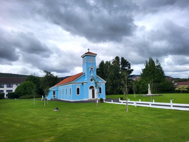
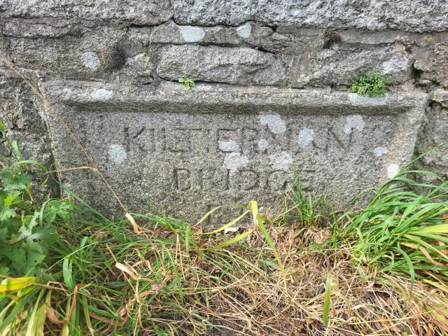
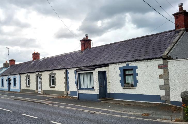
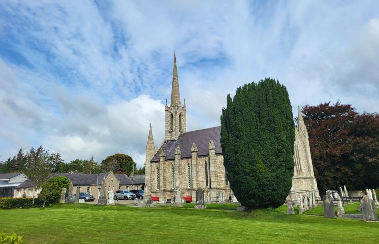
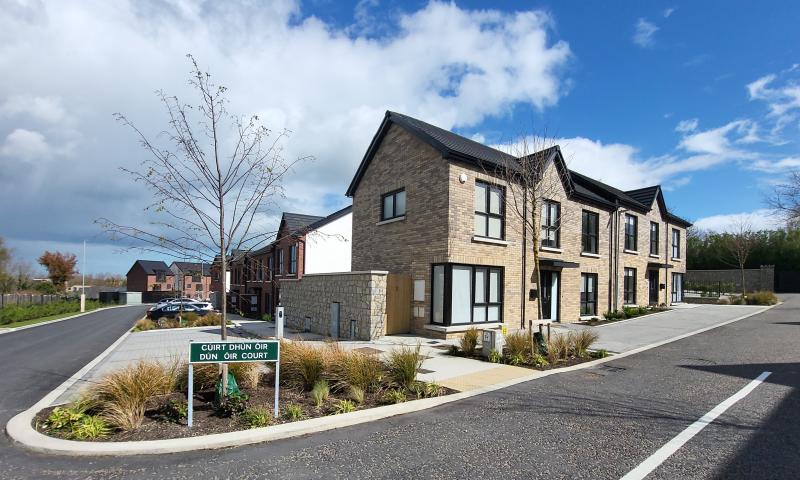
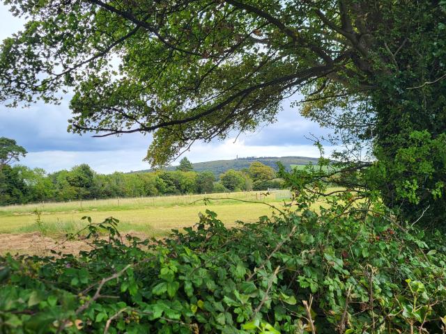
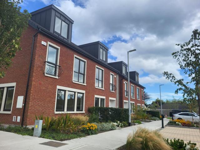
Gallery